'Atmospheric Rivers' and Other Truly Bizarre Weather Phenomena

Haboob

JordiStock/istockphoto

Cheapism is editorially independent. We may earn a commission if you buy through links on our site.
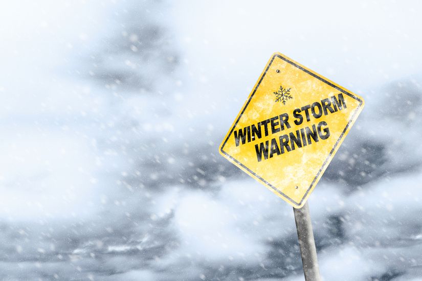
Winter Storm Warning Sign With Snowfall and Stormy Background
ronniechua/istockphoto

Mostly Cloudy With the Occasional Whirling Column of Air and Dust

Boring weather isn't necessarily a bad thing, but the forecast doesn’t always oblige. Freaky weather isn’t only the stuff of dramatic headlines like the lightning strikes that killed three people and left one survivor in Washington, D.C., or the bomb cyclone and freezing temperatures that caused animals to fall from the trees in the most unusual precipitation to hit Florida. Weird weather can be awe-inspiring, confusing, and in some cases, downright dangerous.


Related:
Human Remains, Ancient Ruins, and More Revealed by Climate Change and Drought


Green Iguana (Iguana iguana) resting in a tree
passion4nature/istockphoto

Animal Rain

Yes, animals falling from the sky is real, and it might happen in Florida if freezing temperatures make their way to the Sunshine State. If the thermometer falls below freezing, iguanas could become lethargic and immobilized, causing them to fall from trees. Something similar happened in Texas last year, where residents in the eastern city of Texarkana were stunned to see fish falling to the ground during a storm. Small animals, including fish, bats, snakes, and frogs, can get caught in updrafts or waterspouts, then flung to the ground as the storms lose energy over dry land.


Related: Strangest Things That Have Washed Ashore

Tornado on the Sea
koto_feja/istockphoto

Waterspouts

Though the word waterspout sounds harmless or even cute, these natural phenomenon can range from mild (if the weather isn't too extreme) to dangerous, tornado-like columns of air and water mist that occur during severe thunderstorms. Several waterspouts were spotted near Destin, Florida this summer, but luckily none reached land, which is when they are most dangerous. 


Related: America's Most Dangerous Beaches


Sniego sūkurys Snownado
Wikimedia Commons

Snownadoes

Mediterranean nations including Greece and Turkey were treated to a thick layer of snow earlier this year, which is rare enough as it is — but the storm system even triggered a "snownado." Also called snow devils, these rare funnels of the white stuff occur under certain conditions involving wind shear over snow cover, according to the World Meteorological Organization.

Flooded of muddy water. Overflow.
wsfurlan/istockphoto

Atmospheric Rivers

This headline-making phenomenon has been drenching parts of the West Coast lately — but what, exactly, is an atmospheric river? It occurs when strong winds push tropical water vapor into a river-like band that can rush ashore and wreak havoc in the form of extreme rainfall and even mudslides, according to the National Oceanic and Atmospheric Administration. But the news isn’t always all bad: One atmospheric river brought much-needed drought and fire relief in northern California in 2021.

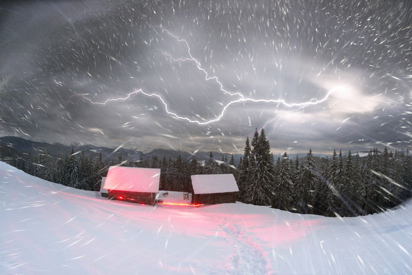
Trekking in Kukul on Chernogora
panaramka/istockphoto

Thundersnow

Thunder and lightning are usually a summer phenomenon, but in rare instances, they come bundled with the white stuff. Head to the Great Lakes for your best chance at witnessing this brain-buster: Cold air blowing across mild water can create enough instability for lightning, thunder, and snow to happen all at once, according to the Farmers’ Almanac. Understandably, people get a little excited when they witness thundersnow: Just watch the Weather Channel’s Jim Cantore flip out repeatedly in a thundersnow montage.

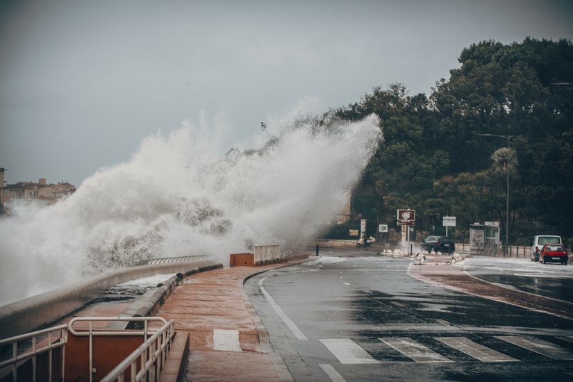
Scary Stormy Background With Big Sea Wave Splash Against City Road
Media Raw Stock/istockphoto

Bomb Cyclones

Bomb cyclone is a dramatic-sounding name for a relatively simple weather event: A storm, albeit one that intensifies very quickly in a process known as bombogenesis. Meterologists are careful to distinguish bomb cyclones from hurricanes, because the former can occur over both land and sea, while hurricanes require warm ocean water to gain strength.

Malta, Sliema - Storm with very high waves - defocused like painting
Kerrick/istockphoto

Medicanes

Nope, medicanes aren’t some sort of mobility device. They’re storms that form over the Mediterranean, drawing strength from the warm water. And though they’re not actually hurricanes (and rarely become as severe, according to AccuWeather) they may look the part, swirling over the water and even forming an eye.


Asphalt after rain
Renato Arap/istockphoto

Blood Rain

With its gruesome name, blood rain sounds like horror-movie fodder, but the reason rain may occasionally appear red is a lot less apocalyptic. Aerosols from red dust can hitch a ride with low-pressure fronts, and the tiny particles can make raindrops look blood red (or orange, or even yellow, according to Farmers’ Almanac). The phenomenon is especially rare in the U.S.

Dust storm rolling over residential area
jeff1farmer/istockphoto

Haboobs

Blood rain may occur as part of a haboob. Ha-what? A haboob is a dust storm, and though you’re a lot more likely to witness one in Saharan Africa or the Middle East, they can crop up in the southwest U.S. — just like the one that hit Arizona in 2011. Haboobs occur as strong winds from thunderstorms gust down and out, picking up dust along the way, which can form an impressive dust wall (not to mention dangerous conditions, especially for drivers).

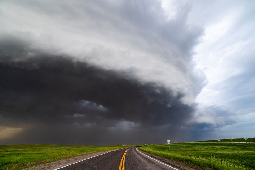
Derecho storm with shelf cloud approaching
mdesigner125/istockphoto

Derechos

Tornadoes may inspire more fear, but comparatively under-the-radar derechos can also tear through communities with terrifying power, as Iowa learned in August 2020, when an “apocalyptic” derecho caused $11 billion in damage. Sometimes called “inland hurricanes,” derechos can occur when a powerful line of thunderstorms kicks up straight-line winds over a wide area. The Iowa derecho brought 140 mph winds to Cedar Rapids and brought down more than 7 million trees, according to NPR.

Dust Devil on a farm
rhyman007/istockphoto

Gustnadoes

Granted, they might not have quite the cachet of the fictional “sharknado,” but gustnadoes are very real. They form when strong storm-related downdrafts spread out on the ground and then start to rotate upward, which can make them look like a miniature tornado. Accuweather says they can extend up to 300 feet and reach wind speeds of 80 mph.

Snow in Town
photokitchen/istockphoto

Snow Rollers

You may also know these whimsical formations as snow donuts or snow bales. When strong wind pushes snow across the ground, the snow can roll into a doughnut-like shape that leaves a trail as it chugs along. It only happens under very specific conditions, including above-freezing temperatures, brisk wind speeds, and just the right dusting of snow on top of ice.

Dramatic stormy sky and lightning over Nha Trang Bay, Vietnam
efired/istockphoto

Ball Lightning

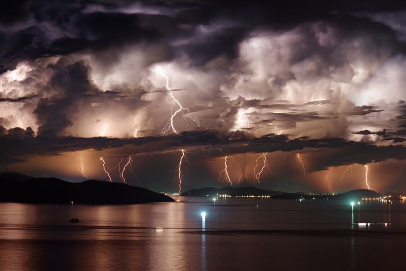
Of all the crazy things on this list, ball lightning is by far the most mysterious. Though there are eyewitness accounts of these glowing orbs dating back centuries, scientists still have little explanation for the storm-related phenomenon. There are plenty of theories, of course, and some have wondered whether ball lightning is some sort of failed lightning bolt.  

Accumulation of ice pellets on cobblestone street natural disaster concept
naumoid/istockphoto

Graupel

Will you grapple with graupel this winter? Not quite snow, not quite sleet, and not quite freezing rain, graupel is made up of soft, hail-like ice pellets that form when water droplets cling to snowflakes. Farmers’ Almanac says that if your sidewalk looks like someone spilled a bunch of those tiny, clingy Styrofoam pellets all over the place, you’ve probably got graupel.

Lenticular Cloud over Lassen Peak
MBRubin/istockphoto

Lenticular Clouds

There are all kinds of fantastical clouds that look downright otherworldly, but lenticular clouds are probably among the most eye-catching. The clouds have even been mistaken for UFOs, not just because of their disc-like shape, but because they seem to hover, unmoving. You’ll most often find them near mountain ranges, after moist air flows over the peaks.


moonbow
amygdala_imagery/istockphoto

Moonbows

Rainbows hog all the glory, but they have a lunar companion in moonbows. They’re especially rare, because, as the International Dark Sky Association notes, several conditions must be met

https://www.darksky.org/5-stunning-moonbow-photos/

 for them to form: A full moon, a clear sky, very little light pollution, and water droplets, either in the form of mist or rain. Waterfalls can be an ideal place to spot them, including Yosemite Falls in California and Cumberland Falls in Kentucky, according to Atlas Obscura.

Fire whirl tornado burns Arapahoe National Forest in East Troublesome Fire burning Colorado wildfire
milehightraveler/istockphoto

Fire Tornadoes

As if wildfires aren’t scary enough on their own, there are fire tornadoes? Sometimes referred to as fire whirls, fire devils, or firestorms, fire tornadoes are rare — and very freaky. Large ones can approximate the size of a traditional tornado, and they form when enough extreme heat sends hot air rushing upward, where it combines with rotating winds. A fire tornado scorched 50,000 acres during a wildfire in California in 2020.